We are the people of the rivers, valleys and mountains.
Taungurung Country goes to the Campaspe River in the east (where we meet up with Dja Dja Wurrung), nearly up to Echuca in the north just south of where the Campaspe River meets the Murray River (Yorta Yorta/Bangerang country), down to Murchison, over to Mooroopna and then the Ovens and Broken Rivers in the east near Wangaratta and Bright (Dhudhuroa and Yaitmathang are our alpine neighbours in the north east, and Gunai/Kurnai in the south east). Our country meets Wurundjeri country at the Great Dividing Range in the south, in the area of Mount Macedon in the west and around Mount Baw Baw in the east.
The highlands region can be considered a harsh environment with extremely cold winters and mild summers however the land still provided us with an abundance of resources.
These resources included stone sources to make tools, and conditions which provided an abundance of animal and plant life for food and materials.
Our clan groups migrated on seasonal basis through their territory dependent upon the seasonal variations of weather and the availability of food. We lived according to the natural cycles of the land and moved through our country on a seasonal basis. We would stay in the cooler more mountainous areas (including the Alpine region) in summer and autumn, and along the waterways of the Goulburn in winter and spring.
We know our country through mountains, rivers and lakes. This knowledge has been a crucial basis on which to be able to negotiate boundaries for native title and cultural heritage. We protected and conserved natural resources while also providing for our own People, and visitors to our Country.

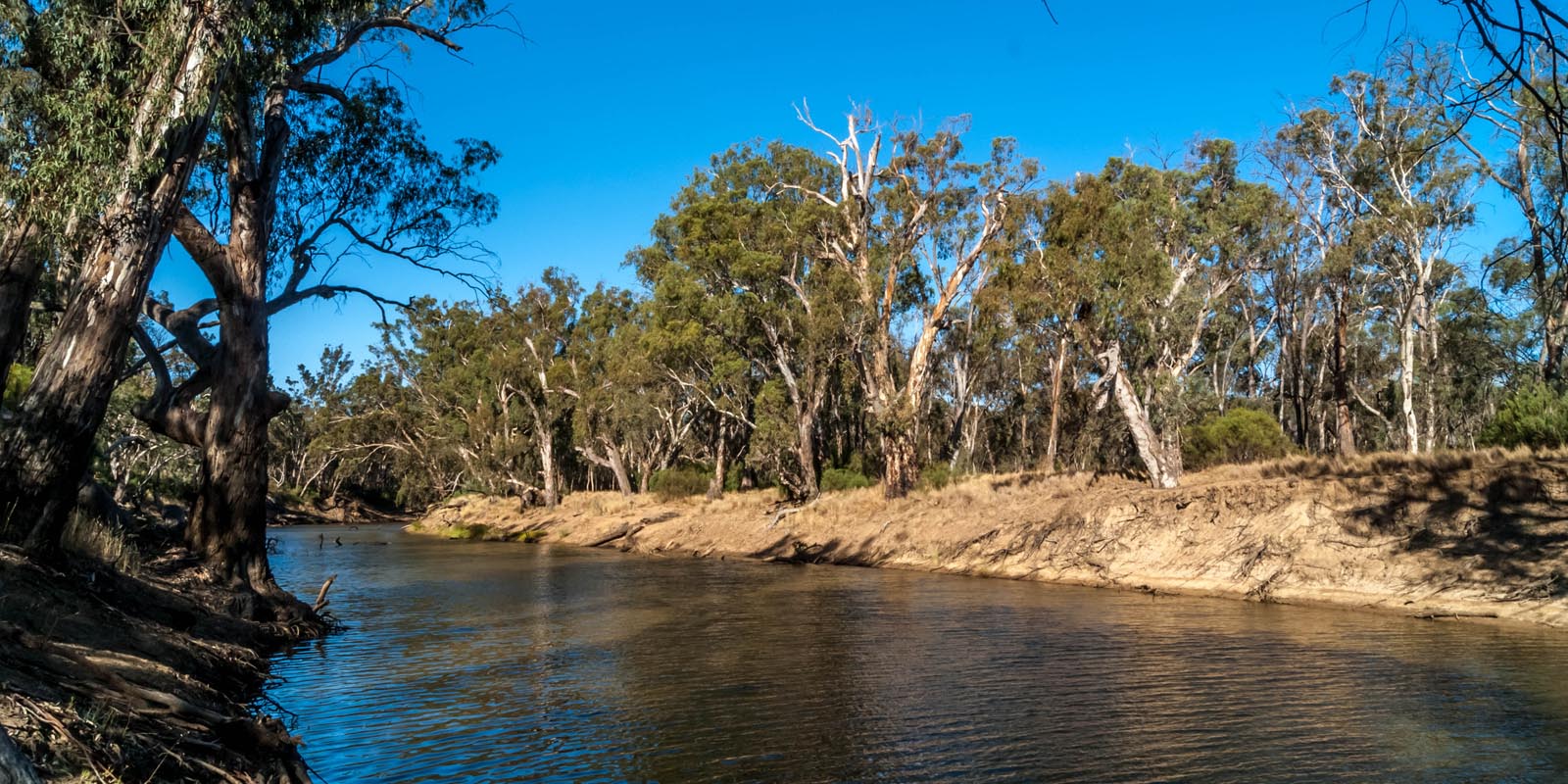
Campaspe River. Image source: Shot Just Right Photography.
Significant Areas
Mount Buller
Mount Buller is a resort village in eastern Victoria, Australia. It’s known for its downhill ski slopes and terrain parks. Bike trails and footpaths also crisscross the mountain. The lands around Mount Buller appear to have been occupied by the Yowung-illam balug clan of the Taungurung, the land, including historical and archaeological sites, are currently the responsibility of the Camp Jungai Aboriginal Co-operative Limited.
Mount Stirling
Long ago in this joyful place Taungurung people travelled to the high country including Mount Stirling in the summer season. The lands around Mount Stirling appear to have been occupied by the Yowung-illam balug clan of the Taungurung, the land, including historical and archaeological sites, are currently the responsibility of the Camp Jungai Aboriginal Co-operative Limited.
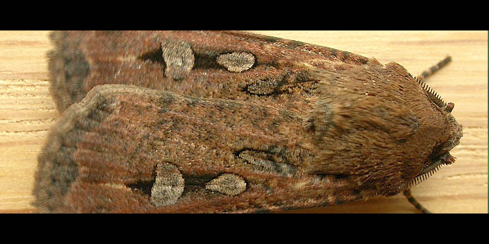
Bogong Moth. Image source: Backyard Buddies.
Mount Torbreck
Mount Torbreck is a rocky mountain half way between Marysville and Eildon. It is the westernmost mountain in the high country over 1500 metres and was briefly a designated ski resort in the 1980’s, although the only infrastructure built was a picnic table. This is where we used to harvest Bogong moths.
Camp Jungai
Camp Jungai is located in the scenic Rubicon Valley of VIC, Jungai has strong ties to nearby communities and a long-running relationship with local Indigenous leaders who provide invaluable insight into the land and its first people. Prior to colonisation the land was a n ancestral ceremonial site.
Nanadhong (Cathedral Ranges State Park)
The jagged ridges of the Cathedral Range offer spectacular views and some of the best hiking in the state. It is situated between the towns Buxton and Taggerty and runs parallel to Maroondah Highway. The Cathedral Range was declared a State Park on 26 April 1979.
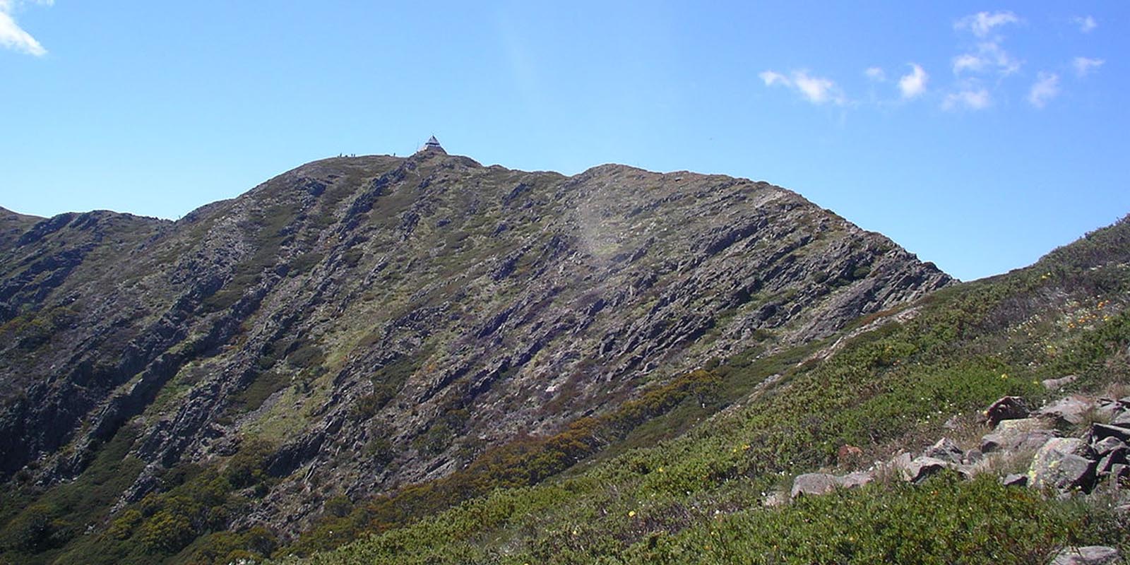
Mount Buller. Image source: Wikipedia.
Other places of interest
- The Great Dividing Range,
- Reef Hill
- Mt Buffalo
- Mt St Leonard’s
- Mt Black
- Mt Feathertop
- The Goulburn River
- The Broken River
- The Little Broken River
- The Campaspe River
- The Delatite River
- The Ovens River
- Lake Eildon
- Lake Mccowan
Sources
The sources used to create the content on this page can be found on Taungurung Further Reading.